I often ride at bike parks where there might be 5 or 6 trails all starting at the same point and ending at the same point but they are distinct trails and yet Strava cannot determine which one I was on. On the map it shows the trails (i.e. Strava maps is aware that there are multiple trails in this location and even shows the names of the trails) and my GPS track lines up almost perfectly with the trail and yet Strava still thinks I did the trail beside it which does not line up with my GPS track at all, except for the start and end points. Why does Strava only look at the start and end points of a trail instead of matching the mid points as well?
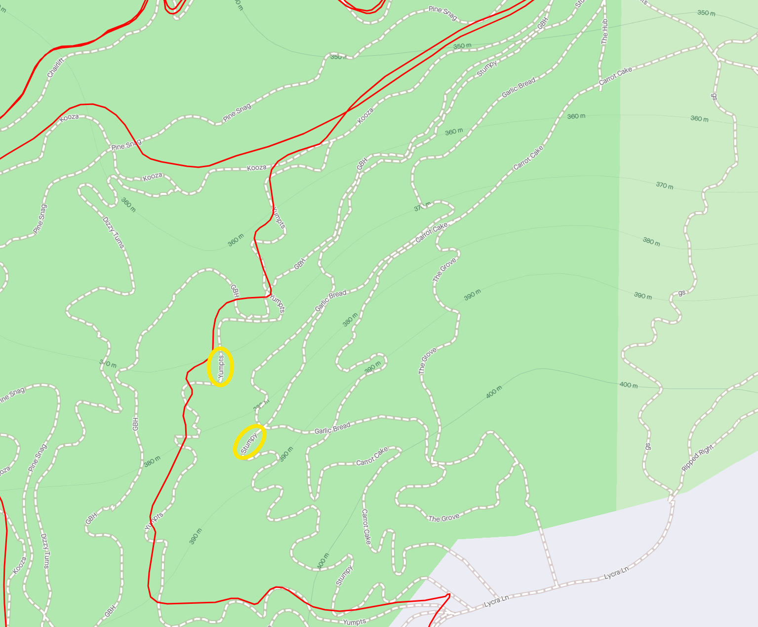
The trail network that I am talking about is called Sticky Forest in Wanaka, New Zealand. There are lots of trails that all start in similar locations and then all end in the same spot. The trails are all on Strava maps and when I ride them, my tracks line up with the trails on the maps, plus or minus a metre or two here and there, but they do line up very well and it's VERY clear just by looking at it which trail I was riding. So why does Strava think I rode the next trail over which I very clearly was not. My GPS track doesn't even touch the other trail except for at the very start and end points.
Also another problem is that all of these trails are very short, some of which only take about 1.5 minutes to complete. In the past we could make segments for all of these on Strava but now Strava has set these arbitrary limits of 500m minimum which means that a lot of these trails cannot be loaded on to Strava even if they are 490m long. GPS is so much more accurate than it was 5 years ago. My Multiband GPS device gives me pin point tracks even when I'm riding under trees and as I said earlier, they line up very closely with the trails on the Strava map so why are we still working with the same segment mapping software that we had 5+ years ago? C'mon Strava, you need to rework the software so it can determine which trail you were on, not just from the start and end points but from points along the trail as well.