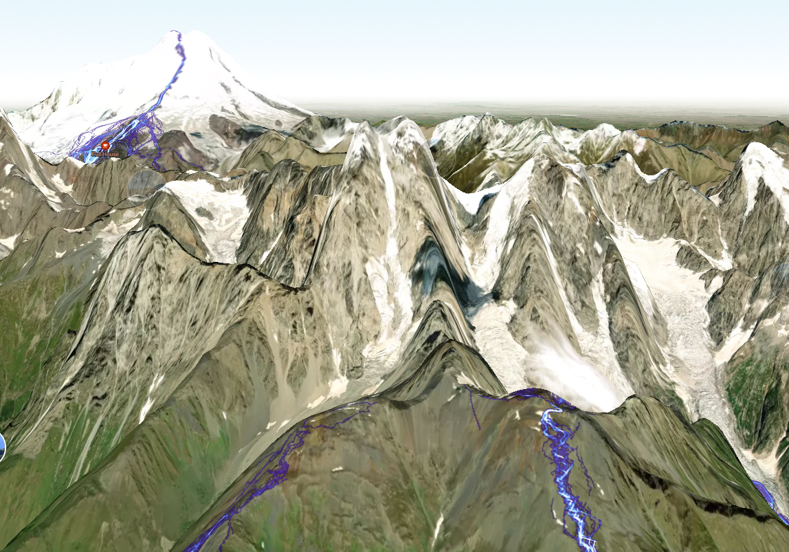
Ok, I understood that killing FatMap the best way to get money from subscribers.
But why this great tool so bat implemented to strava?
Did you see how it looks?
Why all the hills pretended to be a peak?
Do you really think that mountains should be so tall.
Can you please return the display of the mountains as it was done in FatMap?

