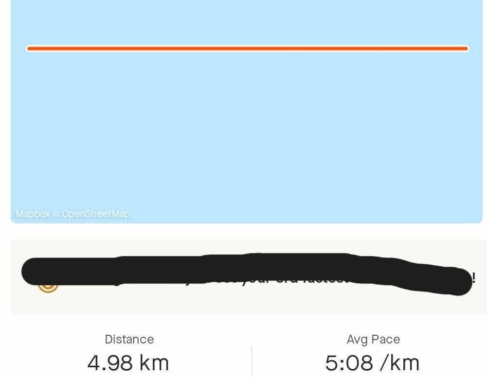
Has anyone encountered an issue when using the API to upload a TCX file, where the GPS track displays as a straight line, the positioning is incorrect, but other information is still visible? Similar to the attached image. Thanks

 +1
+1Has anyone encountered an issue when using the API to upload a TCX file, where the GPS track displays as a straight line, the positioning is incorrect, but other information is still visible? Similar to the attached image. Thanks

Best answer by SkippyVasquez
Hey miragelin,
Thanks for the post and apologies for the delay in response. GPS issues can cause straight lines on a map when a GPS signal is lost and then re-acquired. The points before and after the signal loss are treated like any other two points, even though more time has passed between them, and are connected with a straight line.
You will want to review your GPS data.
Enter your E-mail address. We'll send you an e-mail with instructions to reset your password.