Hi there,
There is a path near me which is designated as a public footpath, but Strava is happy to route cycling routes down it - in the UK there is a distinction in law between bridleway/byway (cycles allowed) and footpath (cycles not allowed). I had a run-in with the landowner yesterday, and they are well within their rights to insist that no cycles are allowed.
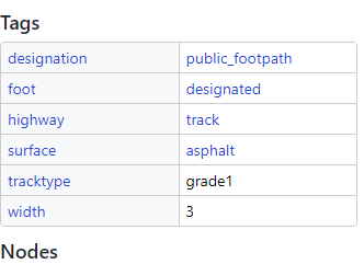
I understand that Strava uses OSM data but this appears to be correctly tagged as a footpath only (see screenshot below) - implying the data is not being correctly grabbed, or the Strava base map needs some kind of refresh. I wonder if there is a way to ensure that Strava does not route cyclists down here in the future.
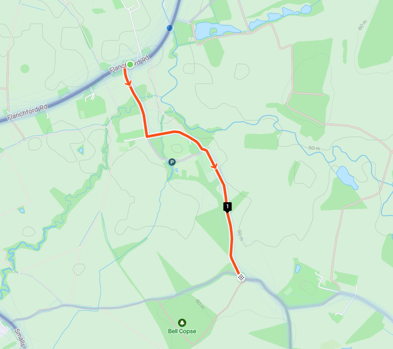
FWIW - whether or not this path is appropriate to ride on is irrelevant, the distinction is made in law. I feel there is a delicate truce that must be maintained between landowners and the public regarding access rights and path designations in the UK. Proof of ability to route down this road is also below, approximate co-ordinates are 51.213069,-0.235417 to 51.2073260, -0.2296353.


