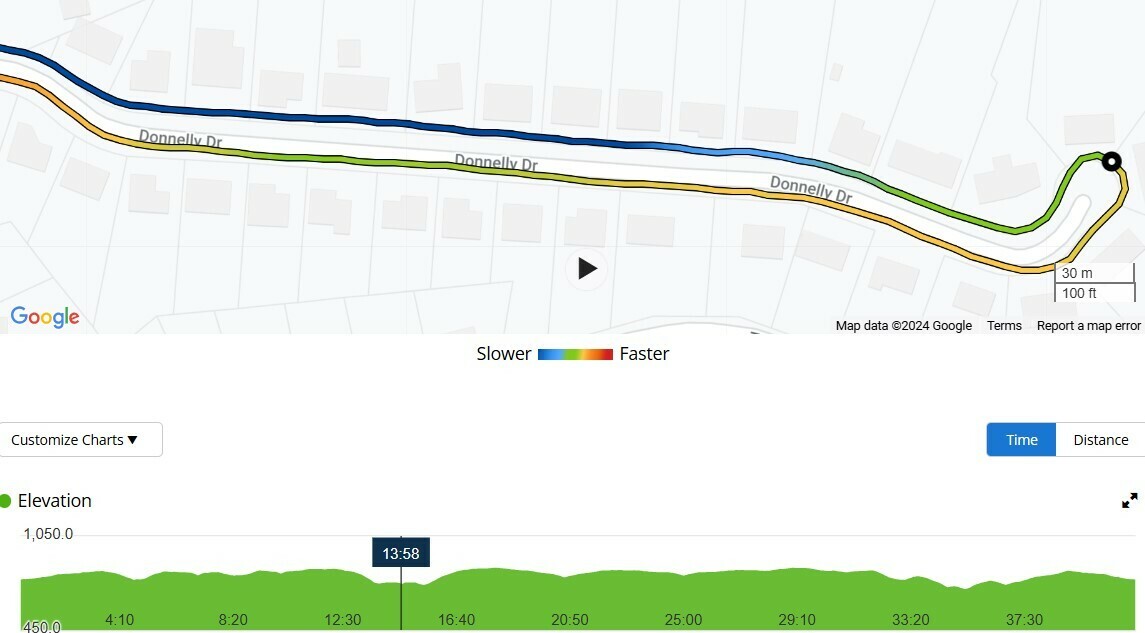
There is a ~quarter mile long cul-de-sac in my neighborhood that descends just under 100’. It registers on Garmin. It shows up on Strava’s topo map. It shows up on the uphill section in a Strava segment. However in the activity is recorded as completely flat. Just that one section. 
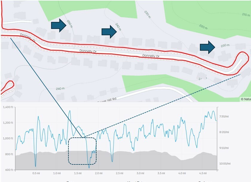
 

Maybe there was a problem with the barometer, heightmap or whatever your recording device uses for determining the current elevation.


No barometer, and even if there was Strava should correct. Garmin recorded the elevation change. There’s something anomalous about this particular location. Just weird.


You can try “Correct elevation” in the activity (it’s revertable) when you want to Strava to correct this section.


Reply