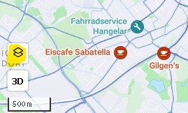
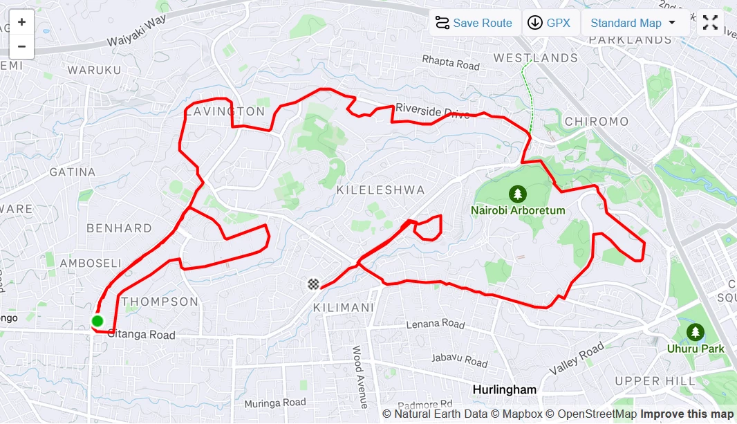
In the mobile app, summits and Points of Interest (POIs) from OpenStreetMap (OSM) can be made visible, but this feature is missing in the web desktop version. The absence of landmarks leaves users without clear reference points when reviewing their recorded activity, making it harder to analyze their tracks. Enabling POIs by default on both platforms would significantly improve usability by providing access to helpful landmarks like summits, mountain huts, caves, waterfalls, bridges, fences, etc., which would greatly benefit the community.
In addition, I would like to reference a related question I posted earlier on the topic:


