Exploration of the outdoors lives at the heart of trail activity. Every hike, mountain bike ride, or trail run offers the prospect of an evolving landscape. Depending on the day, the same route may offer snow-dusted spruce trees, wildflowers peaking through a field, or wispy clouds painting the sky.
Strava offers Trail Routes to help act as your guidebook to local trail offerings. I’m hoping that you’ll find this community post helpful in planning your next outing!
The clearest way into the Universe is through a forest wilderness.
-John Muir
How to access the feature
Mobile: Maps > Routes > Select one of the trail sports listed below
Web: Dashboard > My Routes > Create New Route > Routing Preferences > Select one of the trail sports listed below.
Note: Trail Routes are currently available for the following activity types:
Hike, Walk, Trail Run, Mountain Bike Ride, and Gravel Ride
In addition, while the Strava website does show a visual representation of existing trail networks, you will not be able to select popular routes.
01 How we use Trail Routes
I’ve lived in the Front Range of the Rocky Mountains for about three years now and I’ve often found myself wondering how much time I would need to truly explore everything that the mountains have to offer. I’m a dedicated marathoner so I do somewhat moderate my adventuring and spend a fair amount of time planning routes to determine if they are an appropriate effort for a run that fits into my training or if they are better suited for a hike. Trail Routes is a subscriber feature that supplies popular route ideas from existing trail networks as well as data for activity planning. I’m going to provide some tips and tricks on how I use the tool and a few ideas on how to personalize it for your own use.
Making the most of your hike
The first step in my route planning is to take a wide view of the area I’m hoping to explore. I’ll then narrow it down to a feature or features that I’m hoping to see. This could be a peak I’m hoping to summit, an alpine lake, or a nice stretch of trail that I haven’t been on yet. If you’re like me, you may want to maximize the amount of new trail that you are hiking during your activities. The best way to do this is to turn on your personal heatmap from the route builder by pulling the bottom tray down and clicking on map settings.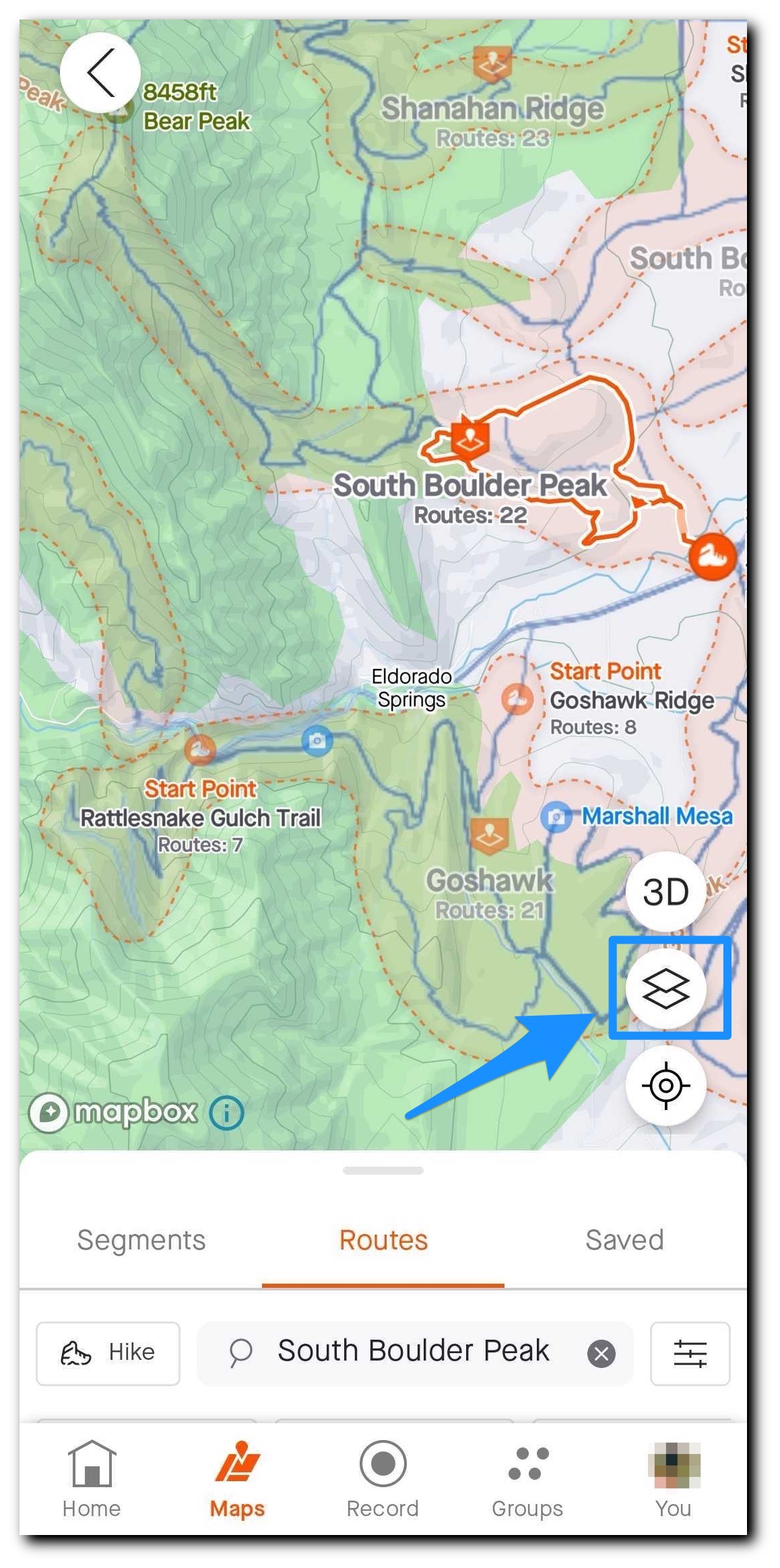
For this example, I’ll be looking at South Boulder Peak outside of Boulder, Colorado USA. First, I’ll click into the trail network and then scroll through the popular route options that take me to the summit of the mountain. There are 22 available options for this trail system and five that take me to the top of South Boulder Peak. However, I’ve hiked the neighboring Bear Peak before and done quite a bit of trail running north of here so I’m hoping to do a southern approach as an out-and-back.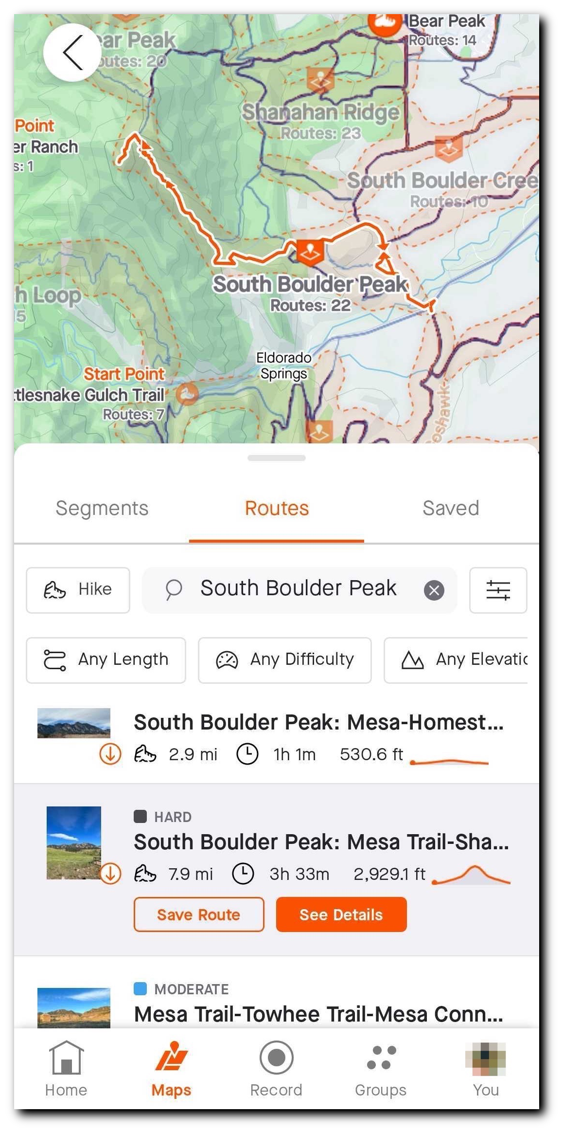
Now that I’ve landed on an intended route I’ll click into See Details and make sure that it looks like a good fit in terms of difficulty, community completion times, and of course look through the route photos to get an idea of the views that I’m in for.
If it looks like a good fit, I’ll save the route! I generally recommend downloading trail routes for offline use as reception can often be spotty.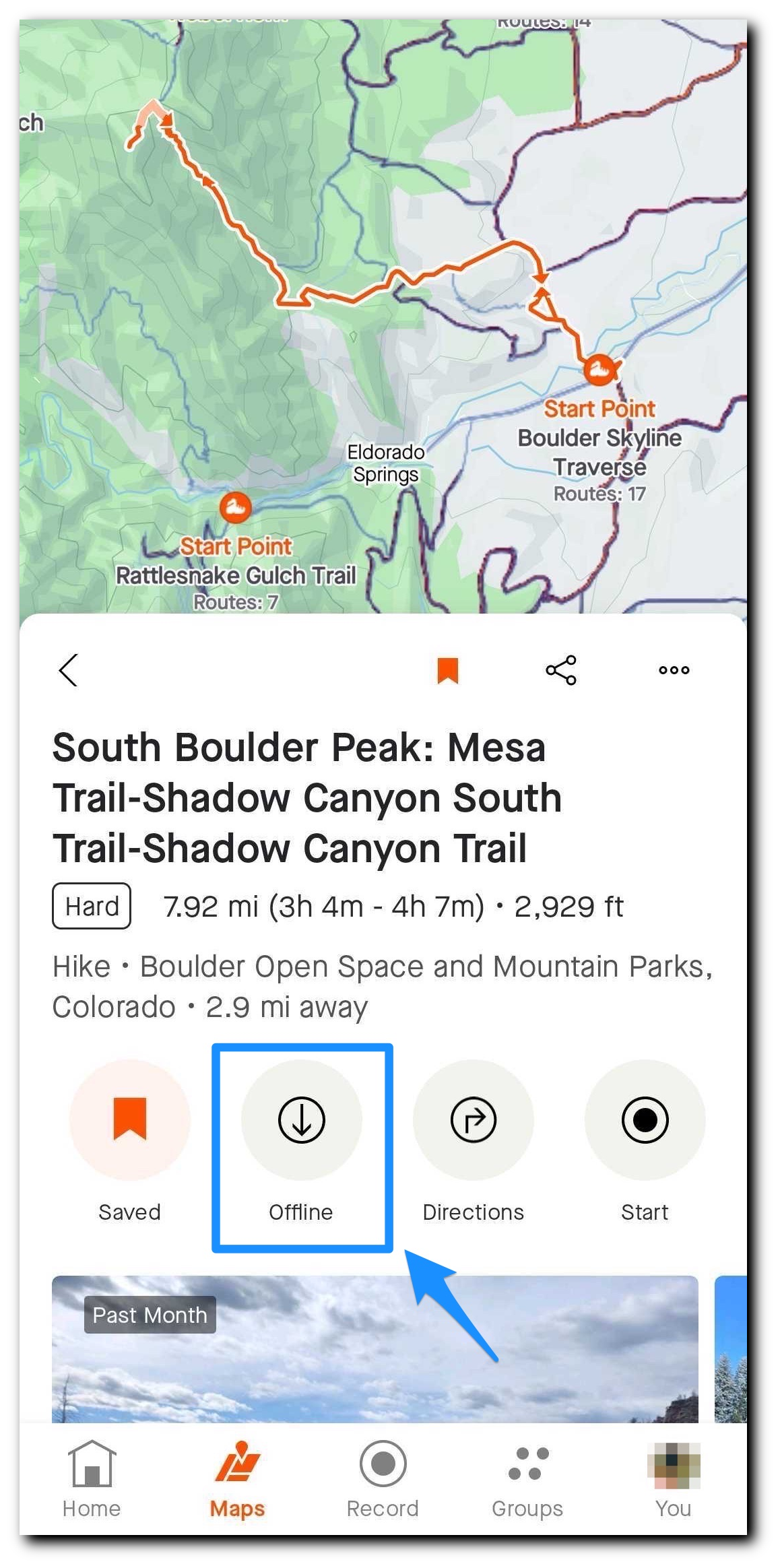
Customizing saved routes
In this example route, South Boulder Peak is right next to Bear Peak and I think I’m up for a little extra distance. Plus I’ve never made the climb up to Bear Peak from the south. Once you have saved a route, you have the option to edit a copy. This is a great way to customize a popular route add the little extras that you’d like to see or include a side trail for variety on the way back.
You can do this from both the mobile app and the Strava website so I’ll provide examples of how to go about doing so on both.
On the mobile app:
Navigation: Maps>Saved>Saved Routes>See Details
From the mobile routes detail page, you’ll click on the three dots in the header to reveal More Actions and the Edit a Copy button. You can now tap any waypoint you would like to change and move the map to relocate your waypoint.
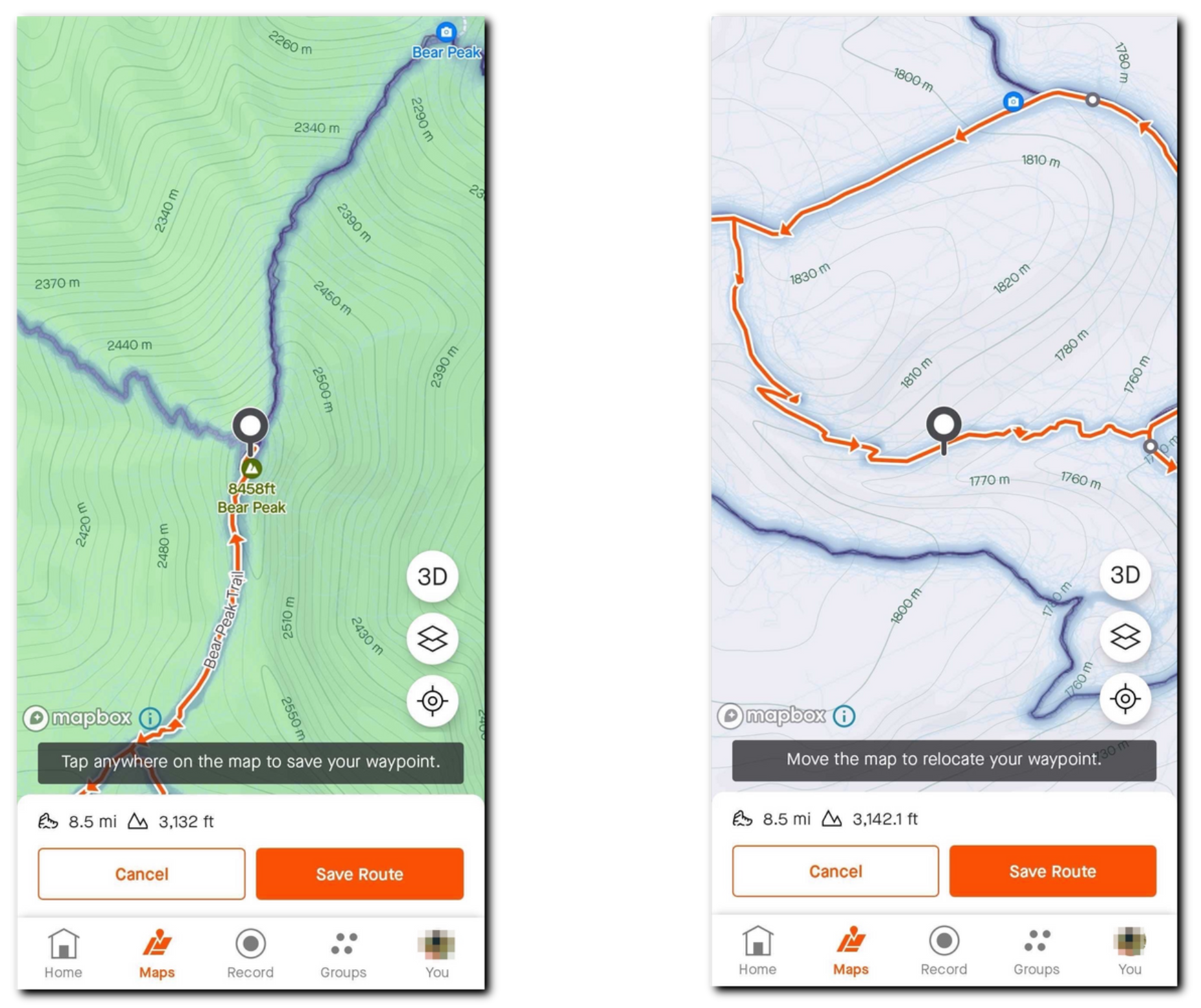
After relocating the waypoint, tap anywhere on the screen to save the change. Review the map and save your changes.
On the Strava website:
Navigation: Dashboard>My Routes>The route you are hoping to edit>Edit or Dashboard>My Routes>Three dot menu of the route you are hoping to edit
Clicking show all waypoints under Build Your Route on the lefthand side will add numbers to waypoints visible on the map. This is helpful in determining if the waypoint is on the way out or back during a route. You can then drag and drop waypoints to edit the route as needed. You also have the option to add or delete waypoints from this edit screen.
If you’re planning on using this route offline and you’ve made edits, make sure to download the new version for offline use!
Using the data to your advantage
I love hiking and running with my Golden Retriever, Moose. One final tip that I like to use when planning a trail run or hike with him is to check if there is overlap with my planned route and Mountain Bike/Gravel Ride routes. If so, I’ll generally leave my dog at home, plan a different route, or go well outside of peak traffic times.
02 The value of Trail Routes
Trail Routes is such a great tool for discovery. You don’t need to know the names of specific trail networks to begin, just the general area you hoping to explore. Willing to travel a little further to explore something new? Just zoom out on the map. The simplicity of locating options and the amount of data that is available for each of these routes is what makes this feature one of my favorites on our platform.
There are so many cool places to visit, I hope you’ll use these tips to discover what’s around you. As a reminder that can’t be overstated, please do your part to be good stewards of the trail. Using a trail means agreeing to do your part to preserve it and protect the privilege of every person to feel welcomed, comfortable, and safe while on it.
Is it proper that the wilderness and its creatures should suffer because we came?
-Dick Proenneke, One Man’s Wilderness
03 Learn more
Below I’ve listed a few resources that touch on other aspects of Routes on Strava:
The Best Hiking Trails in The United States
Browse Trail Networks
Trail Activities Info
Suggested Routes
Have fun and take in the views
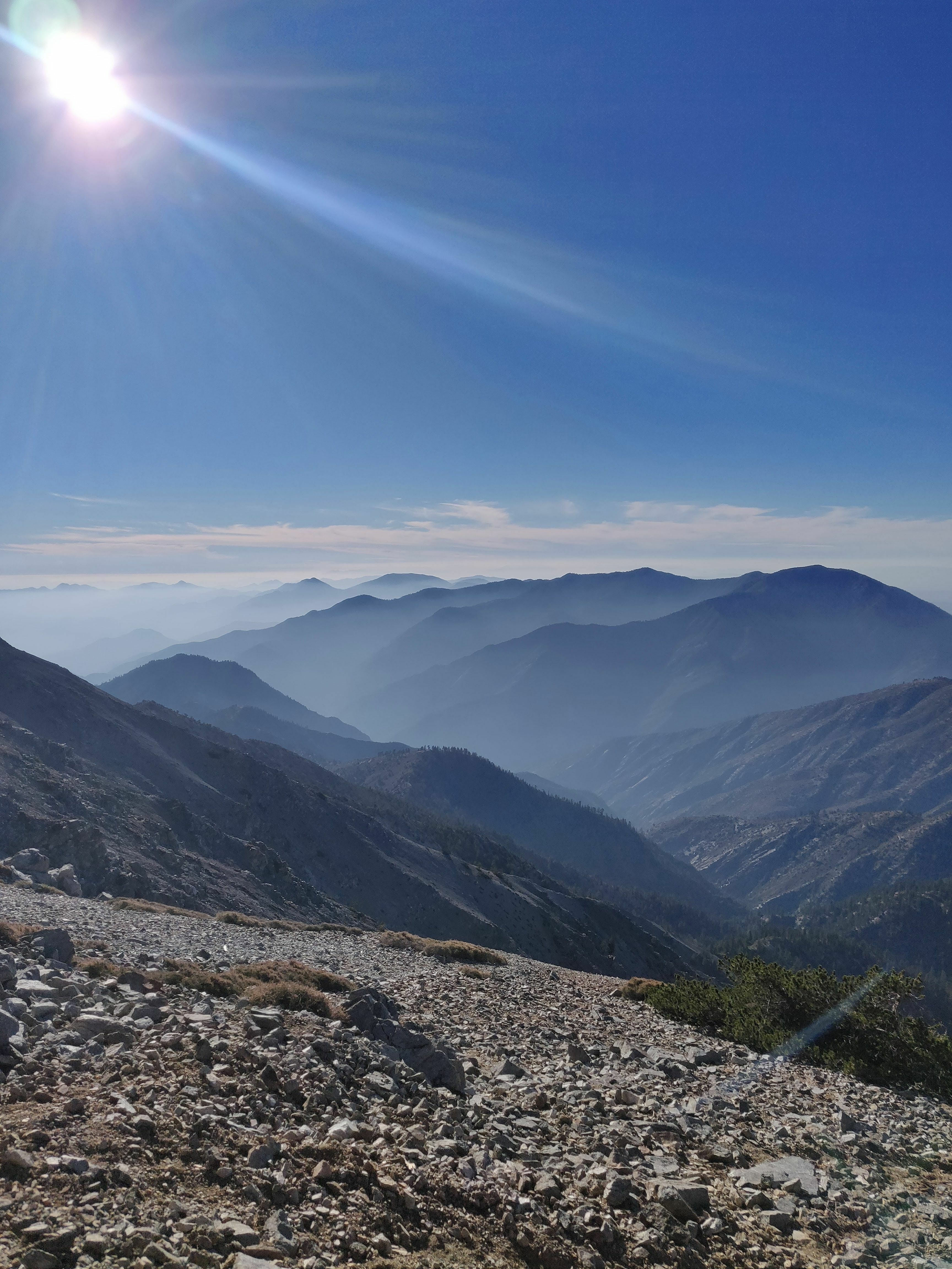
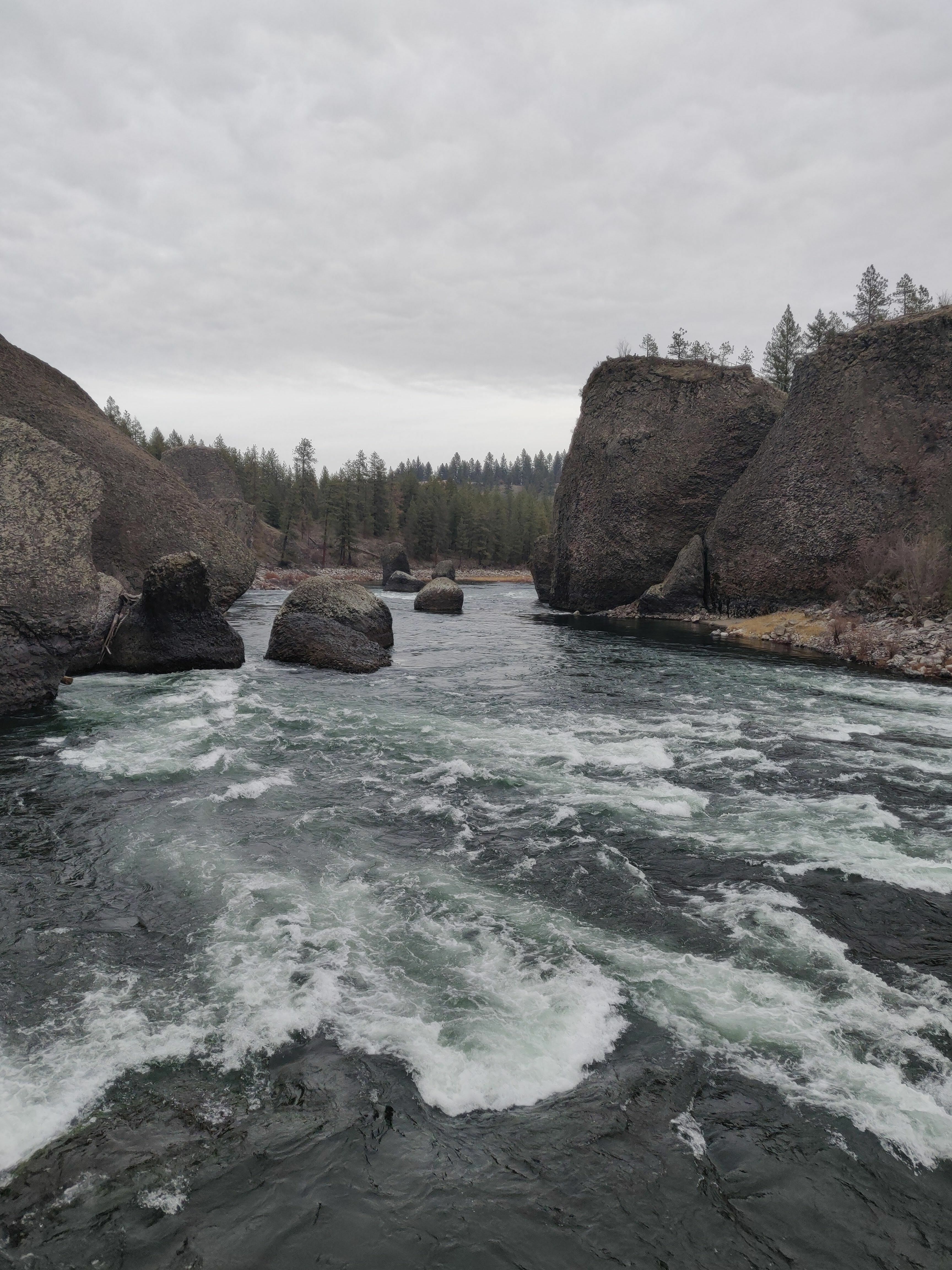
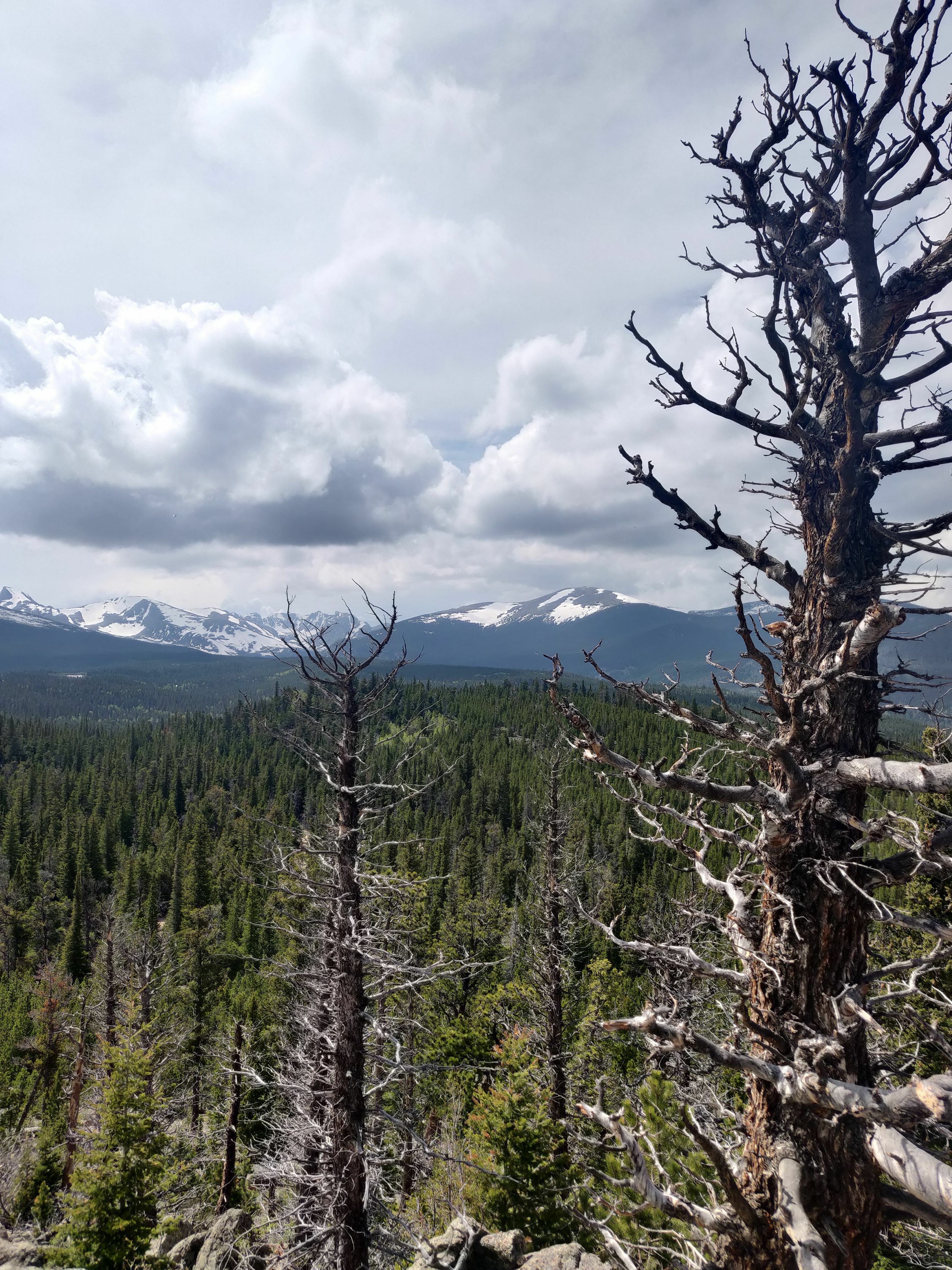
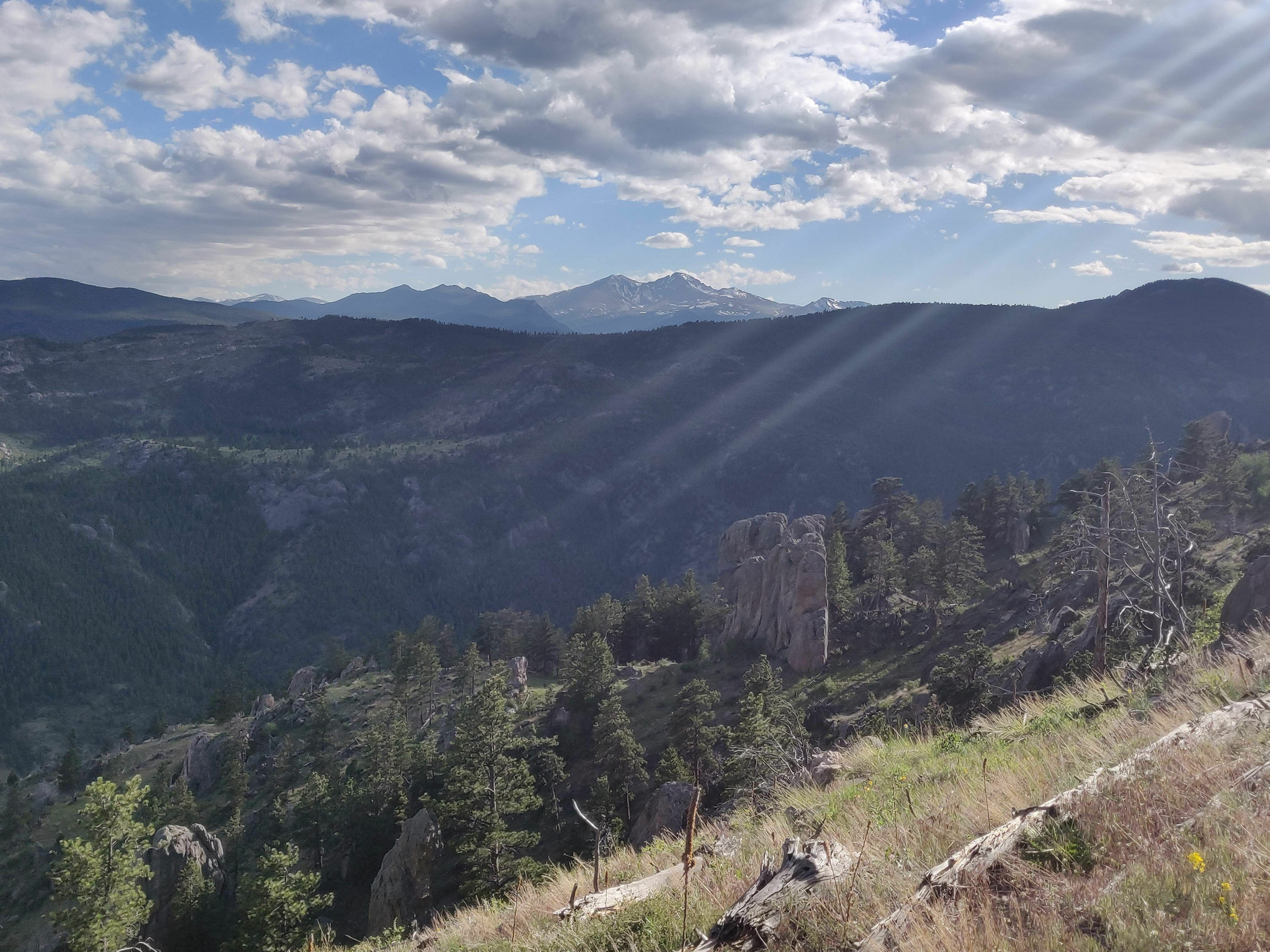
I could have learned a thing or two from ChefNavi and his article on Route Building and Mobile Photography in Patagonia on upping my mobile photography game but I figured I’d share some pictures from previous activities where I used Trail Routes anyways.
Love exploring the outdoors?
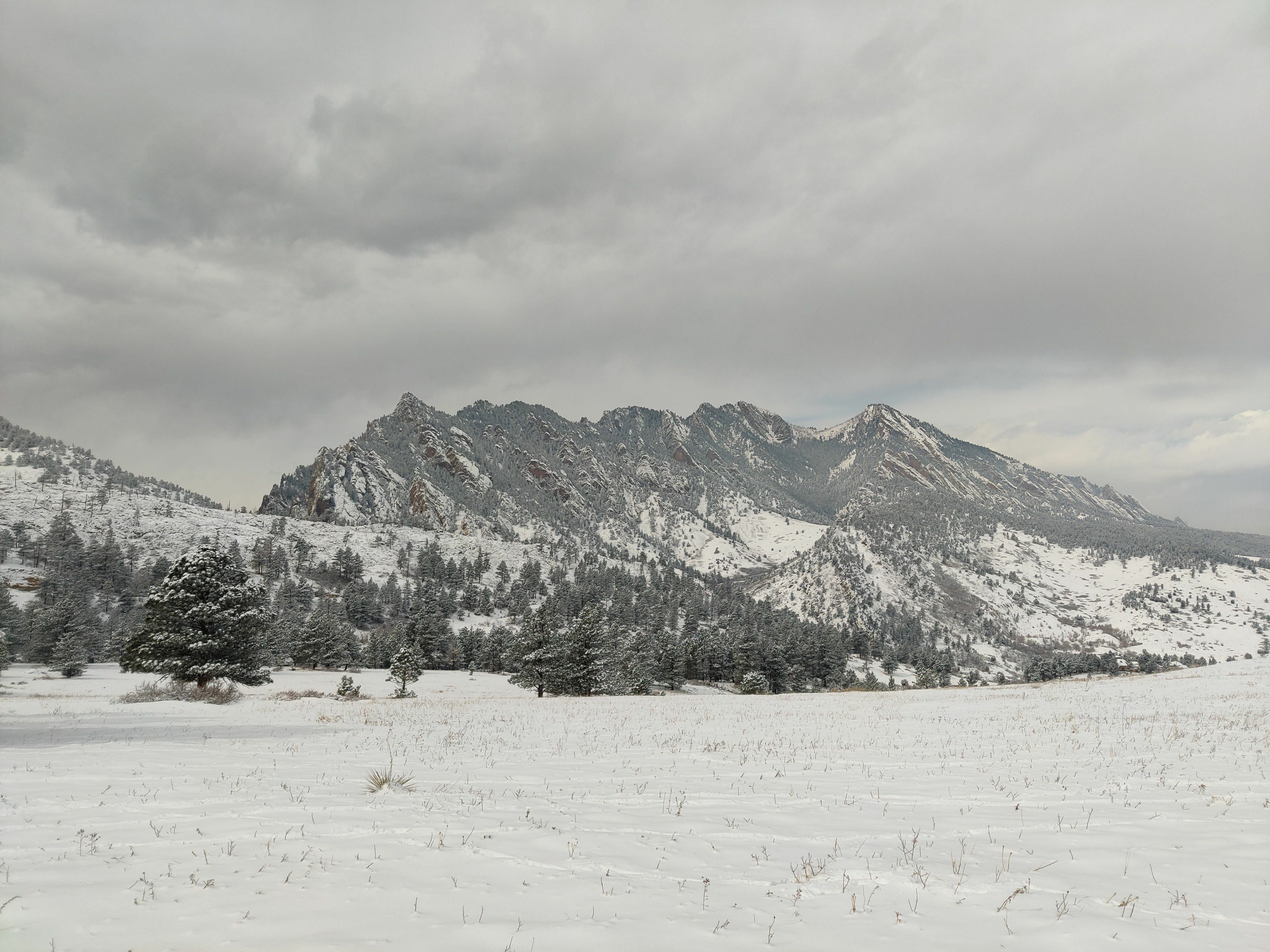
Perhaps an unpopular opinion, my favorite time of the year for a hike or trail run is during the winter with the snow coming down. The snow makes it peaceful and quiet while making the landscape seem endless.
What’s your favorite time of year to be out on the trails? Is there a spot that you can’t quit coming back to? I’d love to hear your recommendations on your favorite spots to hike.
Like this post? Give it a kudos! When you kudos a post, it lets us know what content you would like to see more of!
Bruce
STRAVA | Community Management Team