Hi @JibberJabber - thanks for the question. Trail Networks are built from aggregations of athletes' activity data, and we derive things like the boundaries, Routes, contained Points-of-Interest/Viewpoints/Start Points, titles, and more from that activity data. We also utilize OpenStreetMap data to augment or provide more information about each of those features on the map - you can read a bit more about that here.
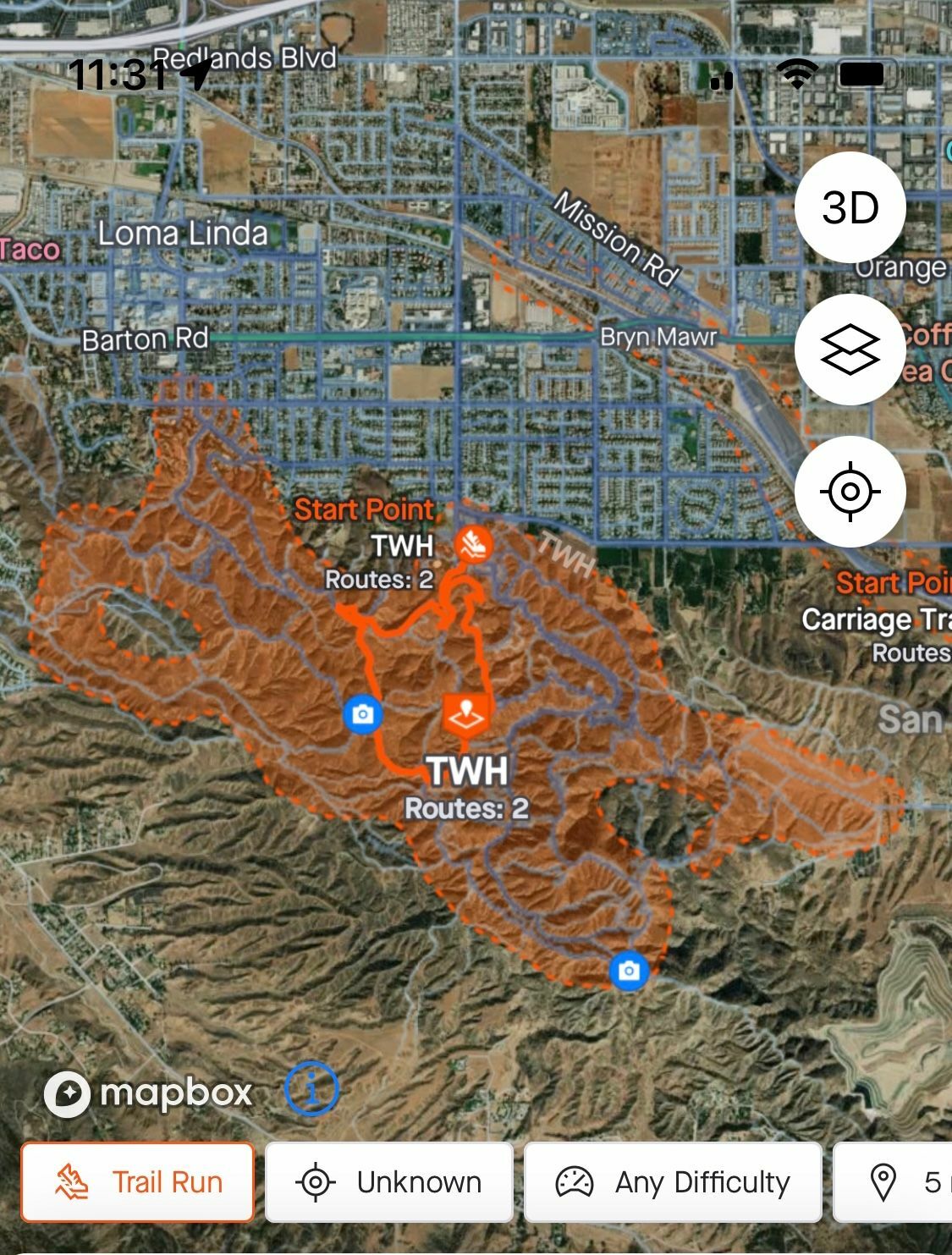
Often (though not necessarily in this case), OpenStreetMap does not provide enough to come up with titles for features on Maps and we rely pretty heavily on the activity data component for this. For this network, it does seem like the titling algorithm resolved the title from the volume of similar activity coming from a local trail group rather than the geographical feature name. I've noted down this example as somewhere we could improve - either something within the algorithm or adding some more curated approaches to how titles are determined.
The team is also intending to write in more depth on our Engineering Blog how features like Trail Networks were built, and it will likely have a section on titling specifically - including approaches we took, some the of the interest aspects of this problem, and areas (like this example!) for improvement.