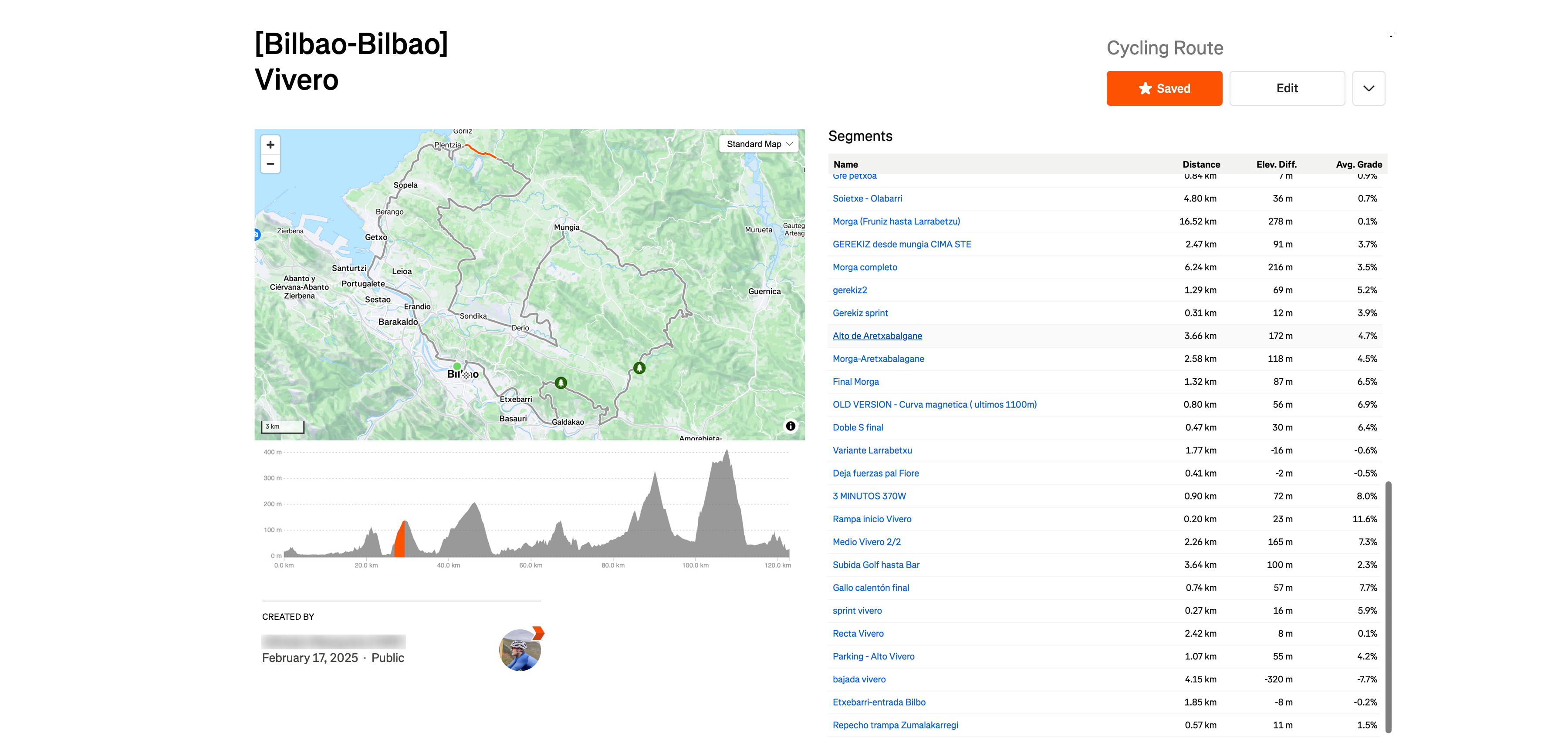

When viewing a map on a desktop, if there are many segments, scrolling down to check them causes the map and elevation profile to move out of view, making it difficult to track their positions and elevation. To improve usability, the map and elevation profile should remain sticky while scrolling through the segments, ensuring they stay visible for better reference.
Currently, as a workaround, I have to zoom out to keep both the map and elevation profile in view while reviewing the segments.