Some exciting news for Strava users everywhere.
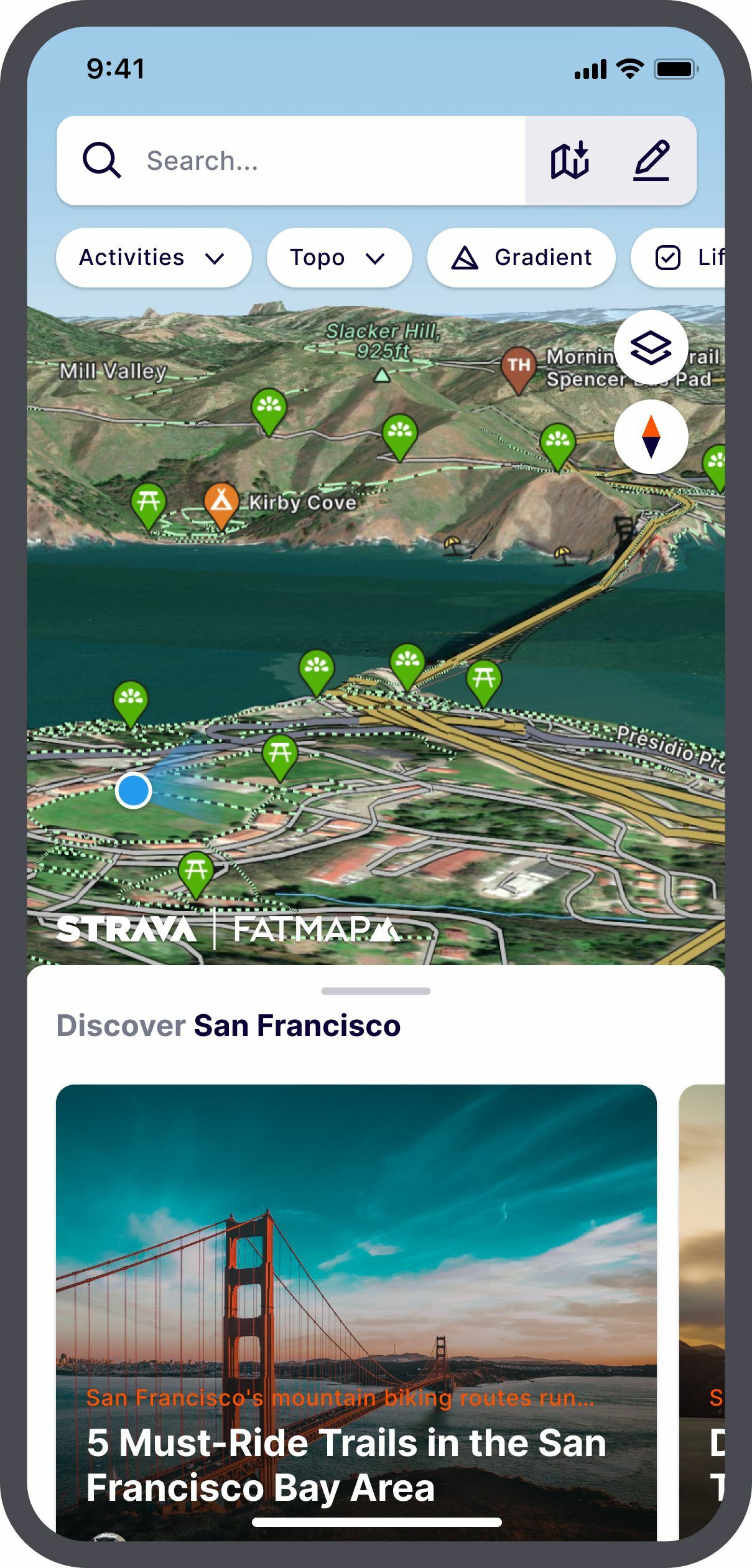
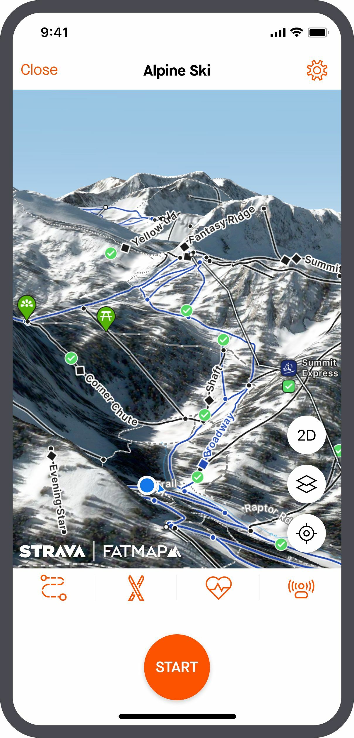
Today, Strava announced the acquisition of FATMAP, a mobile app for discovering, planning, navigating and memorializing outdoor adventures using 3D mapping technology.
In the near future, Strava users can expect a new mapping experience upon completion of FATMAP’s proprietary 3D mapping technology being integrated into the platform.

What does this mean?
In the coming months, there will be more tools at your fingertips to holistically discover and plan an outdoor experience with curated local guides, points of interest and safety information.
Designed specifically for trails and exploring the outdoor world, FATMAP’s technology helps you to safely discover, navigate and share adventures, even without a mobile connection.

The combination of FATMAP’s 3D mapping technology with our data set of activities will make it easier to design routes whether you’re moving on the slopes, in the trails, city streets or neighborhoods.
Your experience on Strava is important and the integration of FATMAP’s features will empower more movement and discovery of the outdoors.
Stay tuned for more information on when these exciting new features will be integrated into your experience on Strava.
Read more details about this news here.


